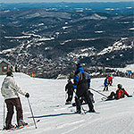
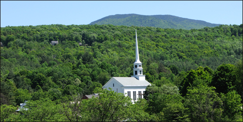
Route 100 Waterbury to Stowe, VT Phone:
Length: 11 miles
Route 7A Pownal to Manchester, VT Phone:
Route 9 Brattleboro to Bennington, VT Phone:
Length: 48 miles
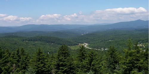
Route 91 in Vermont; Routes 2 and 3 in New Hampshire Brattleboro, Bellows Falls, Windsor, White River Junction, Wells River, St. Johnsbury, VT Phone:
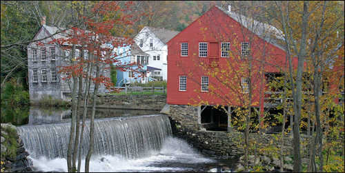
Routes 100 and 100B Granville, Warren Waitsfield, Moretown, Middlesex, VT Phone:
Length: 35 miles
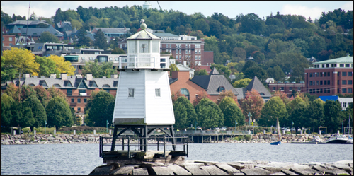
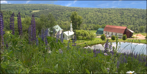
Route 2, Route 7, others Champlain Islands, Burlington, Middlebury, Vergennes, VT Phone:
Length: 134 miles
Route 30 Hubardton, Castleton, Poultney, Wells, Pawlet, Rupert, Dorset, Manchester, VT Phone:
Length: 30 miles