82 Clubhouse Road Fairlee, VT, 05045 Phone: 802-333-4311 Toll-Free: 800-423-1211
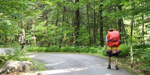
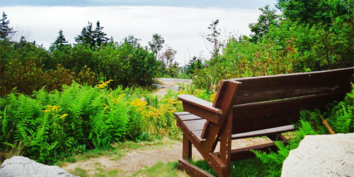
Lakeside resort is just a few miles from great hiking to waterfalls, mountain tops, swimming holes
195 Mountain Top Road Chittenden, VT, 05737 Phone: 802-483-2311
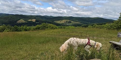
Woodlands, meadows, trails make this secluded mountain resort a paradise for hikers
Near Route 3 and Route 7 Pittsford, VT, 05763 Phone:
1621 Black Pond Road Hubbardton, VT Phone: 802-273-2848
Family and kid-friendly camping park has lots of trails; good trail map
284 Allis State Park Road Randolph, VT, 05060 Phone: 802-276-3175
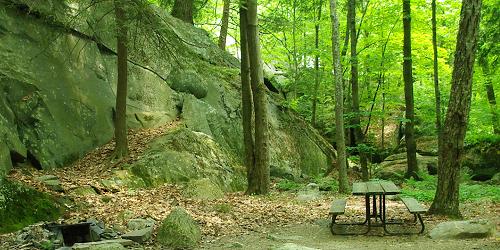
Rustic camping; picnicking, hiking; free day use; pets allowed
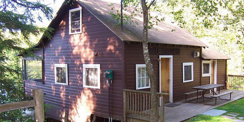
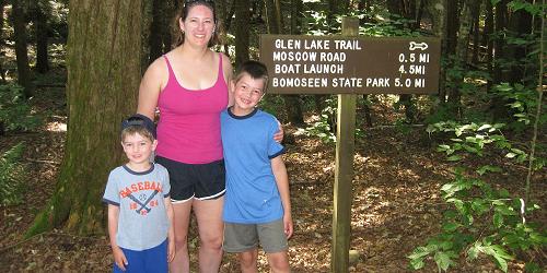
34 Gifford Woods Access Road Killington, VT, 05751 Phone: 802-775-5354
Good hiking and access to Appalachian Trail; pets permitted, but not in cabins
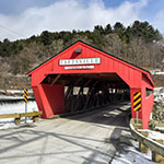
Parking and trail head at Maple and Golf streets Woodstock, VT, 05091 Phone:
at Marsh-Billings-Rockefeller National Historical Park Outside of Woodstock, VT, 05091 Phone:
Park HQ and Nature Center, 44 Stillwater Road (off Route 232) Groton, VT Phone: 802-584-3822
Several easy hikes of 0.25 to 3 miles; good for kids
22 Cedar Mountain Road Castleton, VT, 05743 Phone: 802-265-4242
Selection of moderate and easy trails, 0.75 to 1.5 miles; good walk for kids
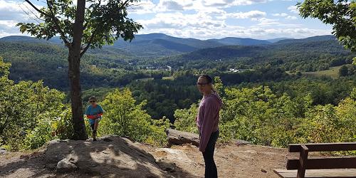
1826 Back Mountain Road Windsor, VT, 05089 Phone: 888-409-7579
Great for hiking & hang gliding; pets permitted
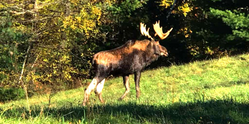
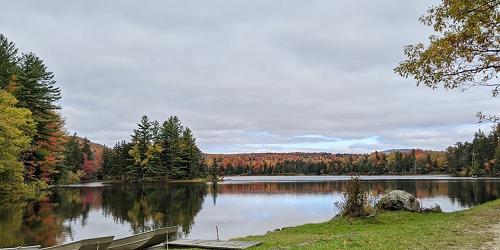
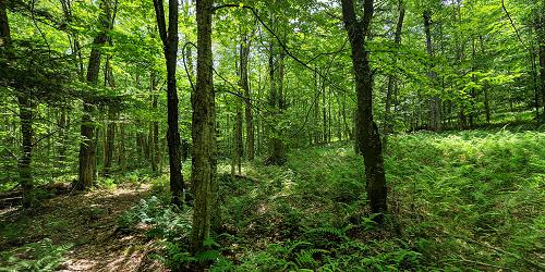
3570 Lake Dunmore Road Brandon, VT, 05733 Phone: 802-247-5925
Mix of easy and difficult trails including a waterfall; two trails offer hiking for kids
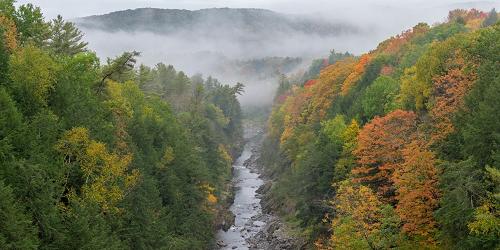
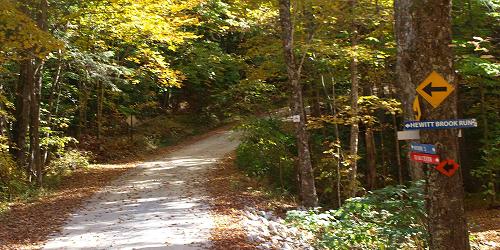
Visitor Center at 6054 Woodstock Road (U.S. Route 4) Quechee, VT, 05059 Phone: 802-295-6852
Four hiking loops of 1 to 2 miles with moderate rating; good for kids
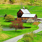
Garvin Hill Road Woodstock, VT, 05091 Phone:
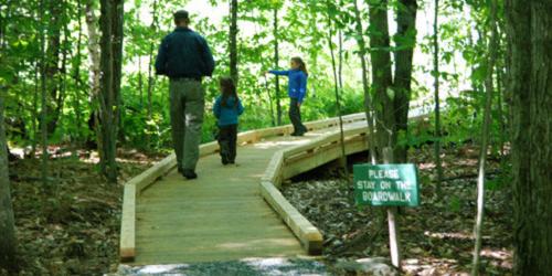
Wheelchair-accessible boardwalk; plentiful lady's slippers in June