180 Intervale Road Burlington, VT, 05401 Phone: 802-660-0440
Off Gilman or Lewis Creek Road Hinesburg, VT, 05461 Phone:
5425 Humphreys' Road Charlotte, VT, 05445 Phone: 802-425-2390
Park on a mountain top has magnificent views; camping; hiking; pets allowed
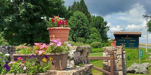
856 VT Route 12 Lake Elmore, VT, 05657 Phone: 802-888-2982
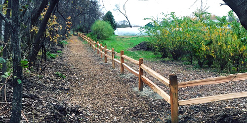
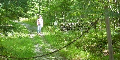
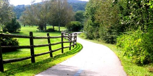
Mix of easy and moderate walks 0.5 to 1.25 miles; some good for kids
44 Knight Point Road North Hero, VT, 05474 Phone: 802-372-8389
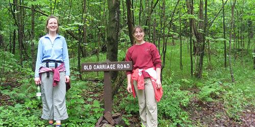
Easy walk; one mile; good for kids
30 Community Drive - Technology Park Williston, VT, 05403 Phone:
177 Reservoir Road Waterbury Center, VT, 05677 Phone: 802-244-1226
Along Mountain Road (Route 108) Stowe, VT Phone: 802-253-2264
Total Length: 5.3 Miles
6443 Mountain Road Stowe, VT, 05672 Phone: 802-253-4014
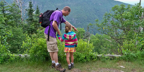
Moderate to difficult trails in high mountains; not for children
352 Mountain Road Underhill, VT, 05490 Phone: 802-899-3022
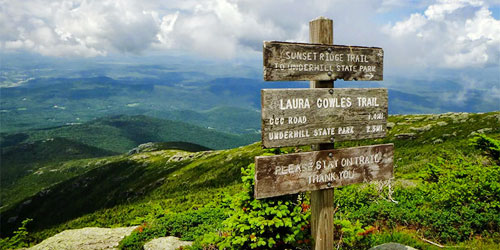
Trails are moderate to difficult, to the summit of Mount Mansfield; not for kids; entrance road does not accommodate RVs, trailers, large buses
274 Raymond Road Colchester, VT, 05446 Phone: 802-893-5210
Five easy or moderate walks; 0.25 to 1.50 miles; some good for kids