Slopes of Mount Equinox Manchester, VT, 05255 Phone: 802-366-1400
1005 Hildene Road Manchester, VT, 05254 Phone: 802-362-1788
930 Southern Vermont Arts Center Drive Manchester, VT, 05254 Phone: 802-362-1405
517 Old Guilford Road Guilford, VT, 05301 Phone: 802-254-2610
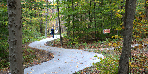
Easy 0.5 to 1-mile walks; great views; good for kids
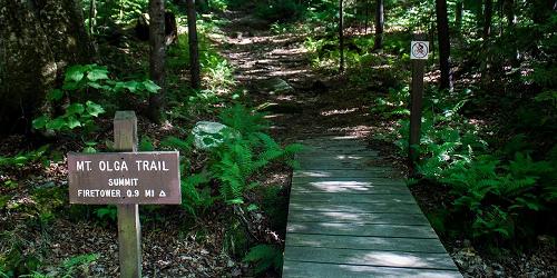
Molly Stark State Park, 705 Vermont 9 Wilmington, VT, 05363 Phone: 802-464-5460
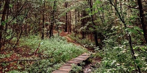
One easy and more moderate walk, 0.20 to 1.70 miles; easy walk is good for kids
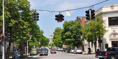
Off Route 30 Brattleboro, VT Phone:
413 US Rte 7 South Bennington, VT, 05201 Phone: 802-447-7419
3270 Route 315 Rupert, VT, 05768 Phone: 802-394-7836
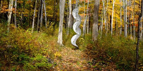
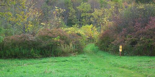
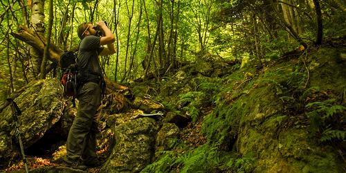
Many trails range from easy to difficult; something for every walker and hiker
65 Emerald Lake Lane East Dorset, VT, 05253 Phone: 802-362-1655
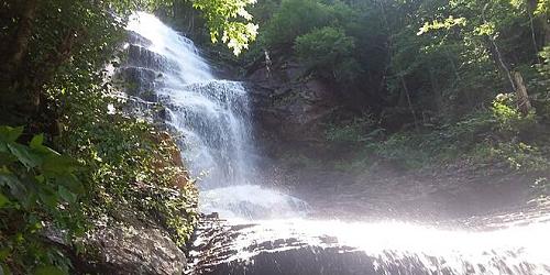
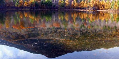
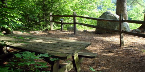
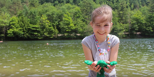
Fine camping, swimming, paddling, fishing, walking and hiking; motor boats prohibited
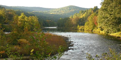
Various access points Brattleboro, Dummerston, Newfane, Townshend, Jamaica and South Londonderry, VT Phone: