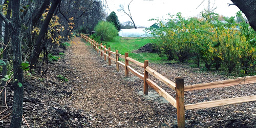
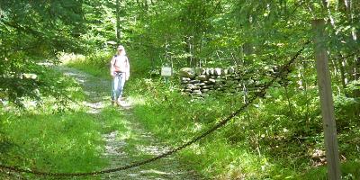
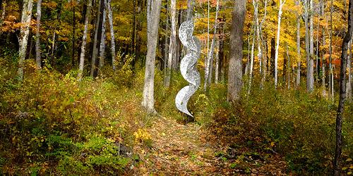
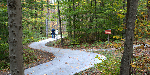
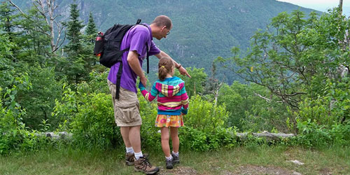
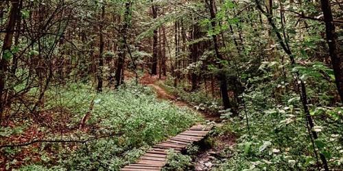
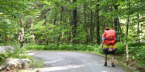
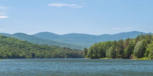
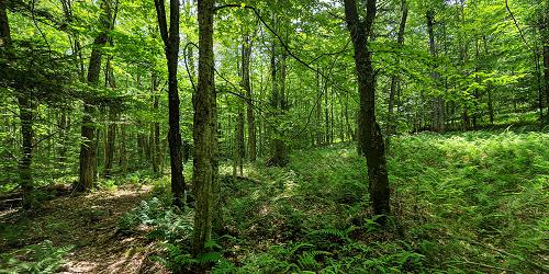
You will find many wonderful walks and hikes for all abilities in Vermont’s Green Mountains, Lake Champlain Islands, and throughout the state’s towns. Browse the listings below for the right walk for you, your family, and children. Walking is a romantic getaway, too.
The 272-mile Long Trail was built in 1910 by the Green Mountain Club. The Trail has sections for beginner, average, and expert hikers. Trails are rated as easy, moderate, and difficult, and by other factors. The Long Trail follows the Green Mountains and crosses Stratton Mountain, Mount Mansfield, Jay Peak, and Camels Hump, with a side trail into the Northeast Kingdom. It coincides with the Appalachian Trail for 100 miles. The Green Mountain Club operates a visitor center on Route 100 in Waterbury Center, providing information, merchandise, access to the Short Trail, a picnic area, and toilets. Please carry in and carry out all belongings. 802-244-7037.
The Cross Vermont Trail will be a 90-mile path connecting towns from Lake Champlain to the Connecticut River. Thirty miles of the trail are open to the public. Maps and guides to the trail are posted online. Existing parts of the trail go near Wells River, Newbury, Montpelier, Middlesex, Berlin, Waterbury, Duxbury, Williston, and Burlington. 802-498-0079
195 Mountain Top Road Chittenden, VT, 05737 Phone: 802-483-2311
Woodlands, meadows, trails make this secluded mountain resort a paradise for hikers
180 Intervale Road Burlington, VT, 05401 Phone: 802-660-0440
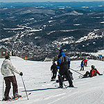
Slopes of Mount Equinox Manchester, VT, 05255 Phone: 802-366-1400
Off Gilman or Lewis Creek Road Hinesburg, VT, 05461 Phone:
Near Route 3 and Route 7 Pittsford, VT, 05763 Phone:
930 Southern Vermont Arts Center Drive Manchester, VT, 05254 Phone: 802-362-1405
1005 Hildene Road Manchester, VT, 05254 Phone: 802-362-1788
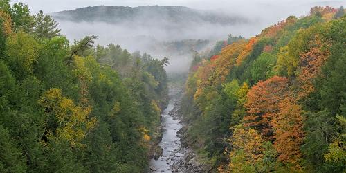
Visitor Center at 6054 Woodstock Road (U.S. Route 4) Quechee, VT, 05059 Phone: 802-295-6852
Four hiking loops of 1 to 2 miles with moderate rating; good for kids
6443 Mountain Road Stowe, VT, 05672 Phone: 802-253-4014
Moderate to difficult trails in high mountains; not for children
1621 Black Pond Road Hubbardton, VT Phone: 802-273-2848
Family and kid-friendly camping park has lots of trails; good trail map
22 Cedar Mountain Road Castleton, VT, 05743 Phone: 802-265-4242
Selection of moderate and easy trails, 0.75 to 1.5 miles; good walk for kids
3270 Route 315 Rupert, VT, 05768 Phone: 802-394-7836
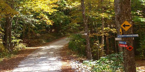
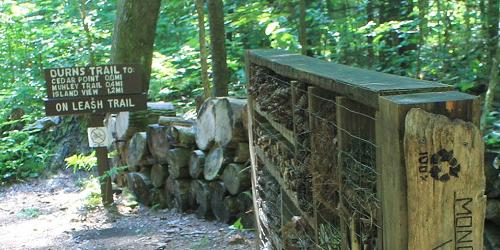
Many trails range from easy to difficult; something for every walker and hiker
Off of VT Route 5A or Mad Brook Road from Westmore or East Charleston, VT Phone:
5425 Humphreys' Road Charlotte, VT, 05445 Phone: 802-425-2390
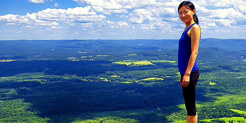
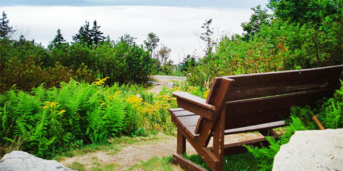
Park on a mountain top has magnificent views; camping; hiking; pets allowed
Parking and trail head at Maple and Golf streets Woodstock, VT, 05091 Phone:
at Marsh-Billings-Rockefeller National Historical Park Outside of Woodstock, VT, 05091 Phone:
Along Mountain Road (Route 108) Stowe, VT Phone: 802-253-2264
Total Length: 5.3 Miles
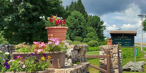
856 VT Route 12 Lake Elmore, VT, 05657 Phone: 802-888-2982
Mix of easy and moderate walks 0.5 to 1.25 miles; some good for kids
Off Route 30 Brattleboro, VT Phone:
517 Old Guilford Road Guilford, VT, 05301 Phone: 802-254-2610
Easy 0.5 to 1-mile walks; great views; good for kids
Garvin Hill Road Woodstock, VT, 05091 Phone:
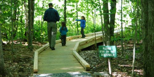
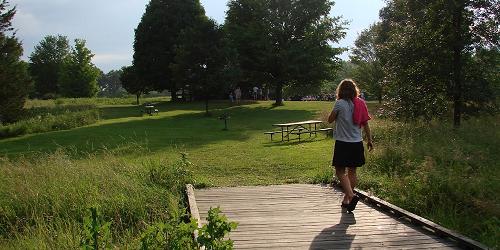
Wheelchair-accessible boardwalk; plentiful lady's slippers in June
34 Gifford Woods Access Road Killington, VT, 05751 Phone: 802-775-5354
Good hiking and access to Appalachian Trail; pets permitted, but not in cabins
413 US Rte 7 South Bennington, VT, 05201 Phone: 802-447-7419
65 Emerald Lake Lane East Dorset, VT, 05253 Phone: 802-362-1655
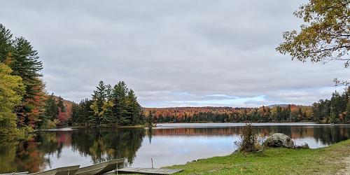
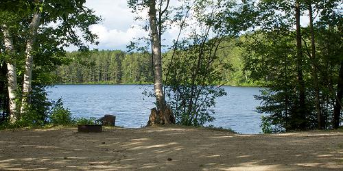
Fine camping, swimming, paddling, fishing, walking and hiking; motor boats prohibited
284 Allis State Park Road Randolph, VT, 05060 Phone: 802-276-3175
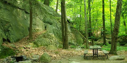
Rustic camping; picnicking, hiking; free day use; pets allowed
44 Knight Point Road North Hero, VT, 05474 Phone: 802-372-8389
Easy walk; one mile; good for kids
Various access points Brattleboro, Dummerston, Newfane, Townshend, Jamaica and South Londonderry, VT Phone:
Brighton State Park, 102 State Park Road Island Pond, VT, 05846 Phone: 802-723-4360
Easy loops of 0.25 to 0.50 mile, with guide to natural sights; good for kids
3570 Lake Dunmore Road Brandon, VT, 05733 Phone: 802-247-5925
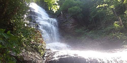
Mix of easy and difficult trails including a waterfall; two trails offer hiking for kids
1826 Back Mountain Road Windsor, VT, 05089 Phone: 888-409-7579
Great for hiking & hang gliding; pets permitted
274 Raymond Road Colchester, VT, 05446 Phone: 802-893-5210
Five easy or moderate walks; 0.25 to 1.50 miles; some good for kids
177 Reservoir Road Waterbury Center, VT, 05677 Phone: 802-244-1226
30 Community Drive - Technology Park Williston, VT, 05403 Phone:
Park HQ and Nature Center, 44 Stillwater Road (off Route 232) Groton, VT Phone: 802-584-3822
Several easy hikes of 0.25 to 3 miles; good for kids
Route 5A Westmore, VT, 05860 Phone:
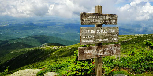
352 Mountain Road Underhill, VT, 05490 Phone: 802-899-3022
Trails are moderate to difficult, to the summit of Mount Mansfield; not for kids; entrance road does not accommodate RVs, trailers, large buses
Molly Stark State Park, 705 Vermont 9 Wilmington, VT, 05363 Phone: 802-464-5460
One easy and more moderate walk, 0.20 to 1.70 miles; easy walk is good for kids